El Salvador

Volcanoes, Surf and the Mountain Towns

Duration
8 days
Trip style
Adventure
Effort
Moderate effort
Region
Americas

Central America's smallest country packs in more per kilometre than most places three times its size.

A one-week road trip through El Salvador's Pacific coast, volcanic highlands and colonial towns.

This itinerary is built around a car. El Salvador is too small to feel epic on public buses and too varied to see properly without the freedom to stop at a waterfall, deviate to a viewpoint or get to a volcano trailhead before 7 am. Two hours covers the width of the country; three hours connects the Pacific coast to the Guatemalan border. The scale makes a packed eight-day route genuinely achievable.

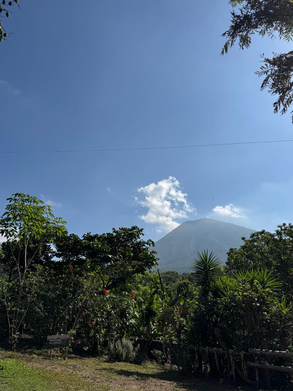
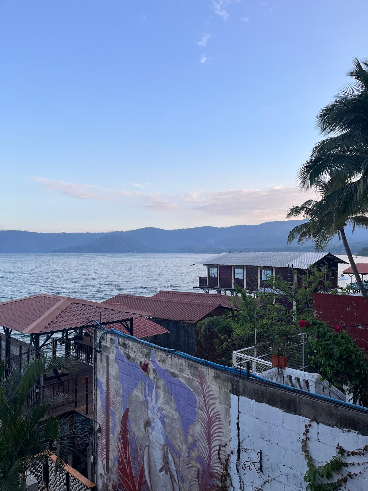
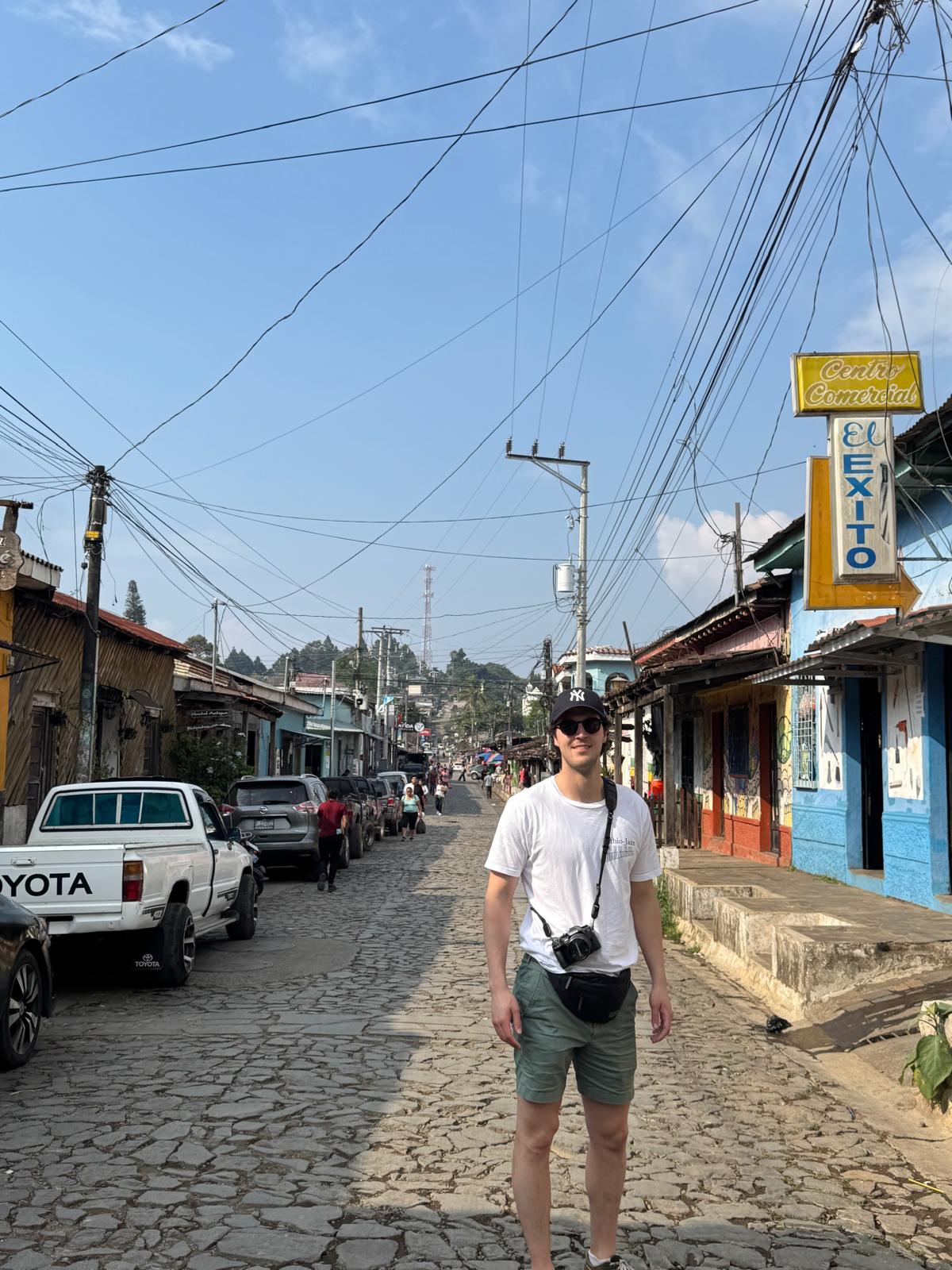
The trip opens on the Pacific coast at El Tunco, the country’s main surf town: intermediate breaks, black sand, beach bars and the kind of barefoot evening rhythm that sets the pace. From there the itinerary moves inland through the Ruta de las Flores, the highland coffee route connecting six colonial towns through coffee farms, waterfall hikes, street murals and mountain views toward Guatemala. Lake Coatepeque, a volcanic crater lake ringed by forested hills, provides the most cinematic overnight on the route. Santa Ana volcano, the highest in the country, takes a full morning to summit, with a turquoise crater lake and 360-degree views as the reward. The itinerary closes in Suchitoto, the most intact colonial town in El Salvador, where Lake Suchitlán’s flooded landscape, cobblestone streets and indigo workshops make a composed and satisfying final chapter before the airport.

Highlights

Santa Ana Volcano

Santa Ana Volcano

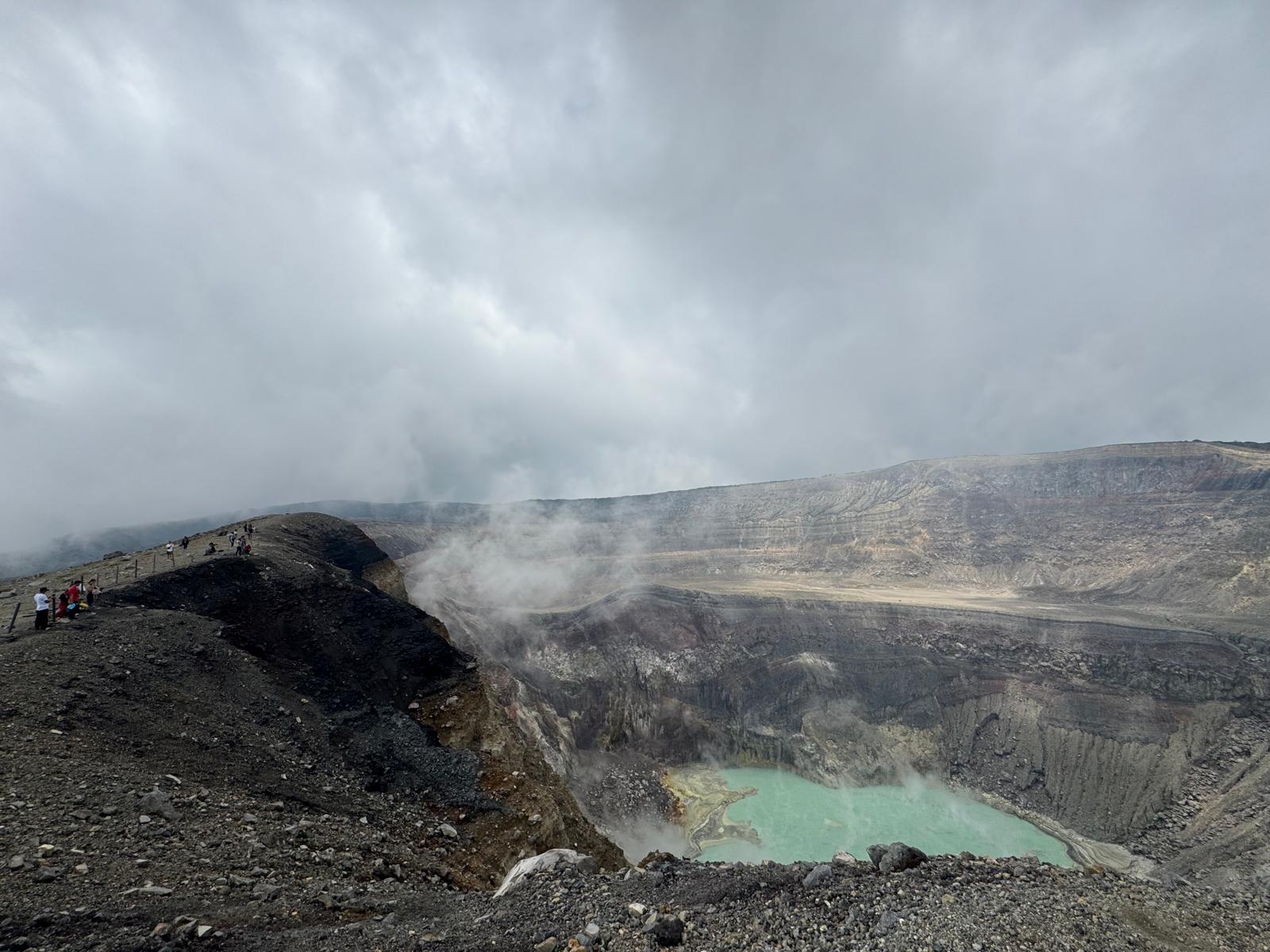
t 2,381 metres, Santa Ana (Ilamatepec) is the highest volcano in El Salvador and one of the finest crater hikes in Central America. The summit reveals the full visual logic of the country's western volcanic chain: Lake Coatepeque in the caldera below, the cone of Izalco (the Lighthouse of the Pacific) rising from the plain, and on clear days the Pacific coast beyond. At the rim, the crater lake sits turquoise and acidic in a deep bowl, changing colour with the light and the steam. The ascent takes 90 minutes to two hours through cloud forest and open volcanic rock; the second half is fully exposed to sun.

Lake Coatepeque at sunset

Lake Coatepeque at sunset

The combination of the physical beauty of the lake and a sunset over volcanic hills is the most memorable overnight on the whole route.

The Ruta de las Flores

The Ruta de las Flores

A 36-kilometre highland road connecting six colonial towns through the coffee-growing mountains of western El Salvador: Nahuizalco, Salcoatitán, Juayúa, Apaneca, Concepción de Ataco and Ahuachapán.

The route

Days 1 to 2: El Tunco and the Pacific coast / surf lessons, horseback riding along the black sand beach and beach bar evenings

Day 3: Drive inland / Juayúa and the Seven Waterfalls hike, continue to Ataco for murals and coffee

Day 4: Ruta de las Flores complete / Nahuizalco, Salcoatitán, Apaneca and Laguna Verde, overnight at Lake Coatepeque

Day 5: Santa Ana Volcano / summit hike at dawn, crater lake, descent and afternoon at the lake

Day 6: Drive east to Suchitoto / colonial town walk, Santa Lucía church and Lake Suchitlán boat tour

Day 7: Suchitoto / Los Tercios basalt waterfall, indigo workshop and market

Day 8: Return to San Salvador / departure from SAL

Start the journey

The first part of the day-by-day route, free to read.

Days 1 to 2: El Tunco and the Pacific Coast

Fly into Monseñor Óscar Arnulfo Romero International Airport (SAL), 44 km southeast of San Salvador. Pick up your rental car immediately at the airport; you will need it from the first moment and the logistics of the entire route depend on having it from arrival. The drive from the airport to El Tunco on the coast takes approximately one hour and forty-five minutes to two hours via the CA-1 Panamerican Highway west and then south on the coastal road CA-2 Litoral. The roads are paved, well-signed and straightforward; the transition from the capital's outskirts through coffee-growing foothills to the Pacific coast happens visually over the last 30 minutes of the drive.

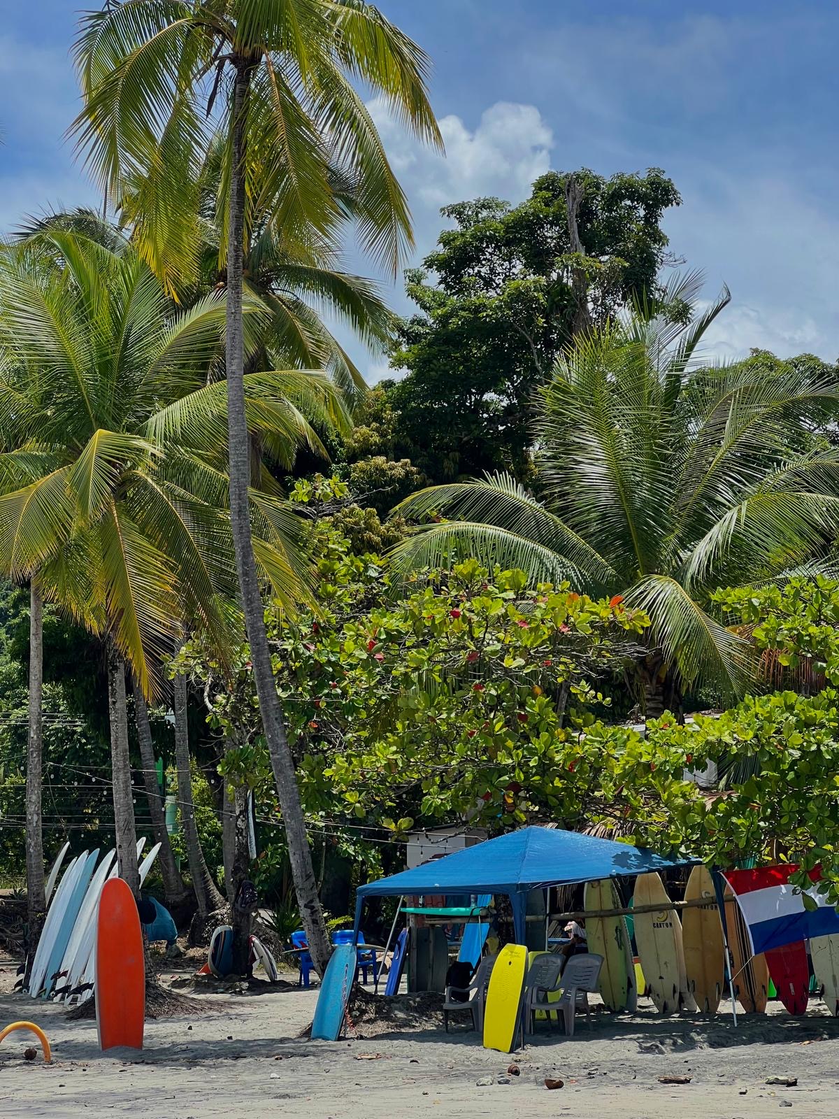
El Tunco is the main beach and social hub on El Salvador's Surf City coast, named for the rock offshore that from certain angles resembles a pig (tunco in local slang). The town itself is a single road of cafés, surf shops, hostels, hammock bars and warung-style restaurants that runs parallel to the beach. Most things on the road are broadly equivalent in quality; it is the kind of place where you find what you like by walking and deciding. The waves at El Tunco are intermediate to advanced, shaped by the black volcanic sand beach and a reef break that produces powerful, hollow left-handers. If you are a competent surfer, this break is excellent. If you are a beginner, El Tunco is not the ideal learning beach; the waves are real and the bottom is volcanic sand over reef. Surf schools operate here and lessons are available, but the honest advice is that learners will have more success at the gentler breaks nearby.

El Sunzal, two kilometres east by car (not walkable despite what maps suggest), is a better beginner break: longer rides, slightly more forgiving and with surf schools specifically oriented toward first-timers. Zonte (El Zonte) further west is even calmer, a smaller community with a more relaxed atmosphere and a Bitcoin Beach connection that brought international attention to the area.

For a non-surfer day: horseback riding along the beach runs through several local operators near El Tunco and costs approximately $15 to $25 per hour. The black sand beach under the volcanic cliffs, with riders silhouetted against the Pacific, is one of the more visually striking experiences on the route.

For the scuba divers: dive operators work out of El Tunco and the nearby Las Flores area. El Salvador's Pacific diving is not coral reef in the Caribbean sense; it is volcanic rock, strong currents, marine life including turtles, rays and occasional whale sharks in season. One-tank dives run approximately $60 to $80.

Eating in El Tunco: Tunco Veloz Pizzería is the recommendation: thin-crust pizza with a genuinely good playlist and a relaxed atmosphere that is better than it sounds for a beach pizza spot. For a change, the other road restaurants serve fresh fish, ceviche and the local staple of pupusas (thick corn tortillas filled with cheese, beans, loroco flower or chicharrón, cooked on a griddle). Dale Dale and Point Break are both reliable café stops but construction noise in the immediate area can make working or lingering harder in the day.

Evening: Old Man's at El Tunco (or the equivalent bar strip depending on who is running what at time of visit) provides the evening beach bar experience standard on this coast: cold beer, the sound of waves, hammocks, and the kind of social scene that forms when travellers from multiple different starting points end up in the same small town.

Get the full El Salvador itinerary

  • The rest of the day-by-day route, 5 more detailed entries
  • Where to stay, by budget
  • Where to eat and drink
  • Practical reminders and cautions
  • Ways to shorten or extend the trip
  • 24 photos from the trip
  • A direct line to the traveller who led it

£12.99

One-time payment

Unlock this itinerary

Instant access. You'll confirm at checkout that this ends your 14-day right to cancel. Terms

Already bought it? Log in

From travellers on this trip

“We were super rushed on the way to the airport the last day! Make sure to leave enough time - more than what Google Maps says.”

Christina Beijing, China

“I enjoyed the volcano a lot. It was unexpected as it is not that famous.”

Kyle Zurich, Switzerland

“Overall, El Salvador surprised me. Nobody goes and they should! It has a lot to offer that neighbouring countries no longer due to large tourist waves.”

Jia New Delhi, India